Environmental Robotics

Environmental robotics is the use of autonomous and teleoperated robots to monitor, sustain, protect, and restore natural environments.

Environmental monitoring robot lowering a measurement instrument into lake water

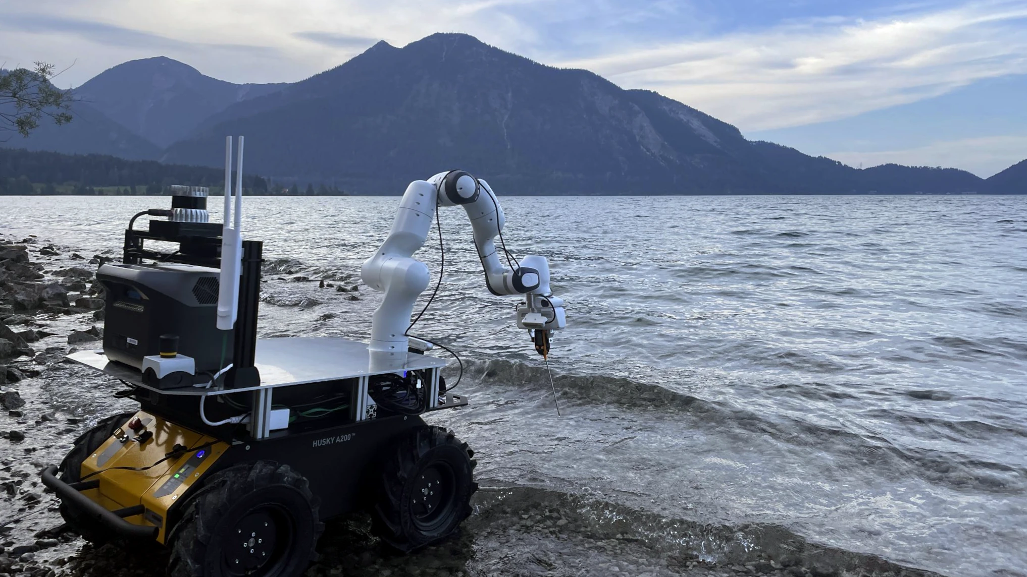
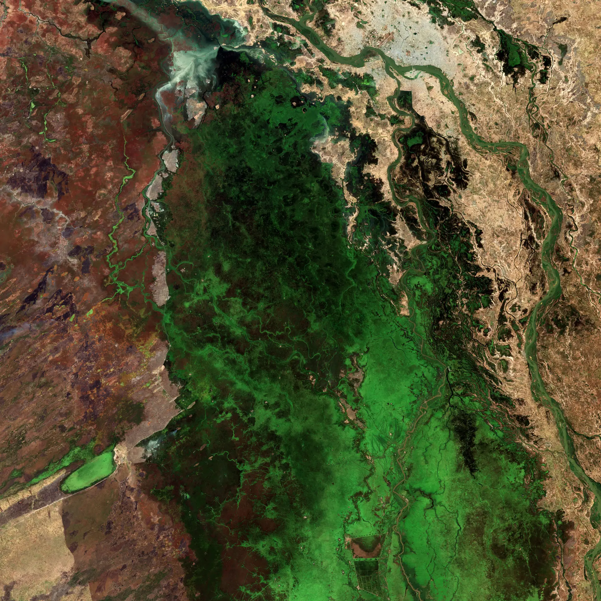
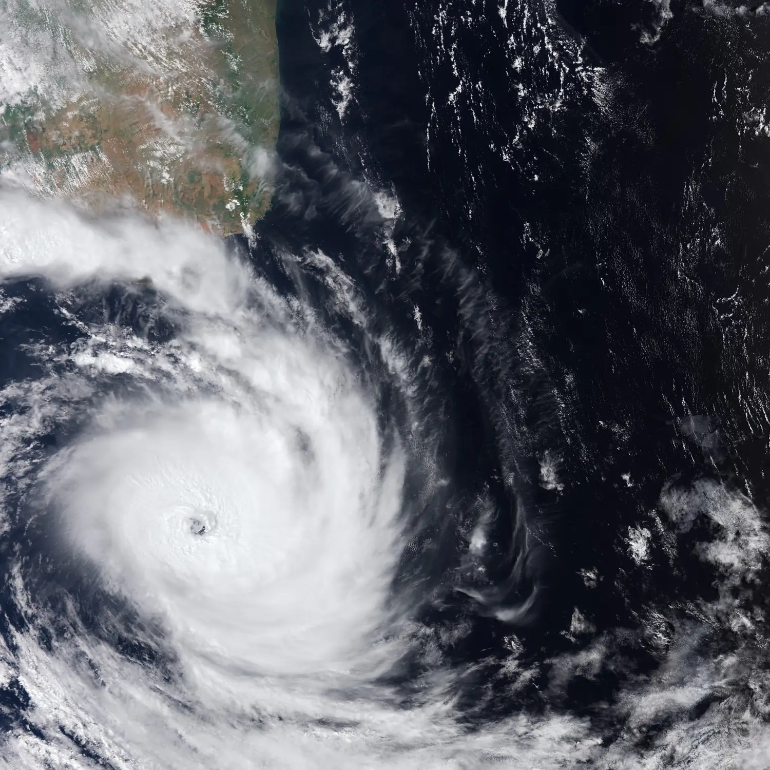
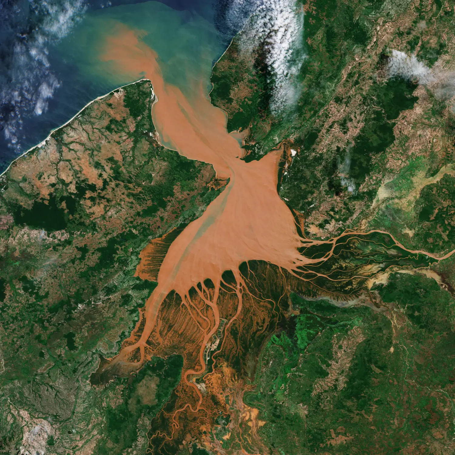
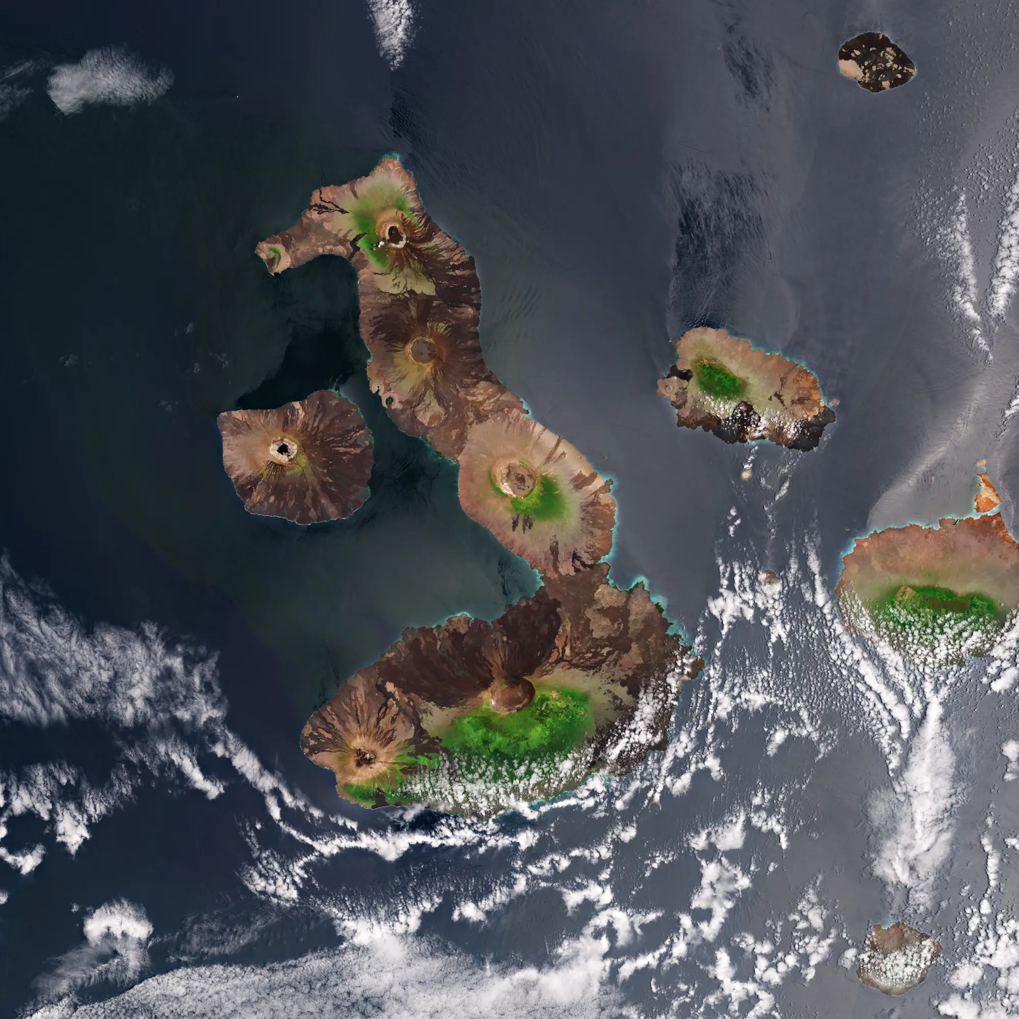
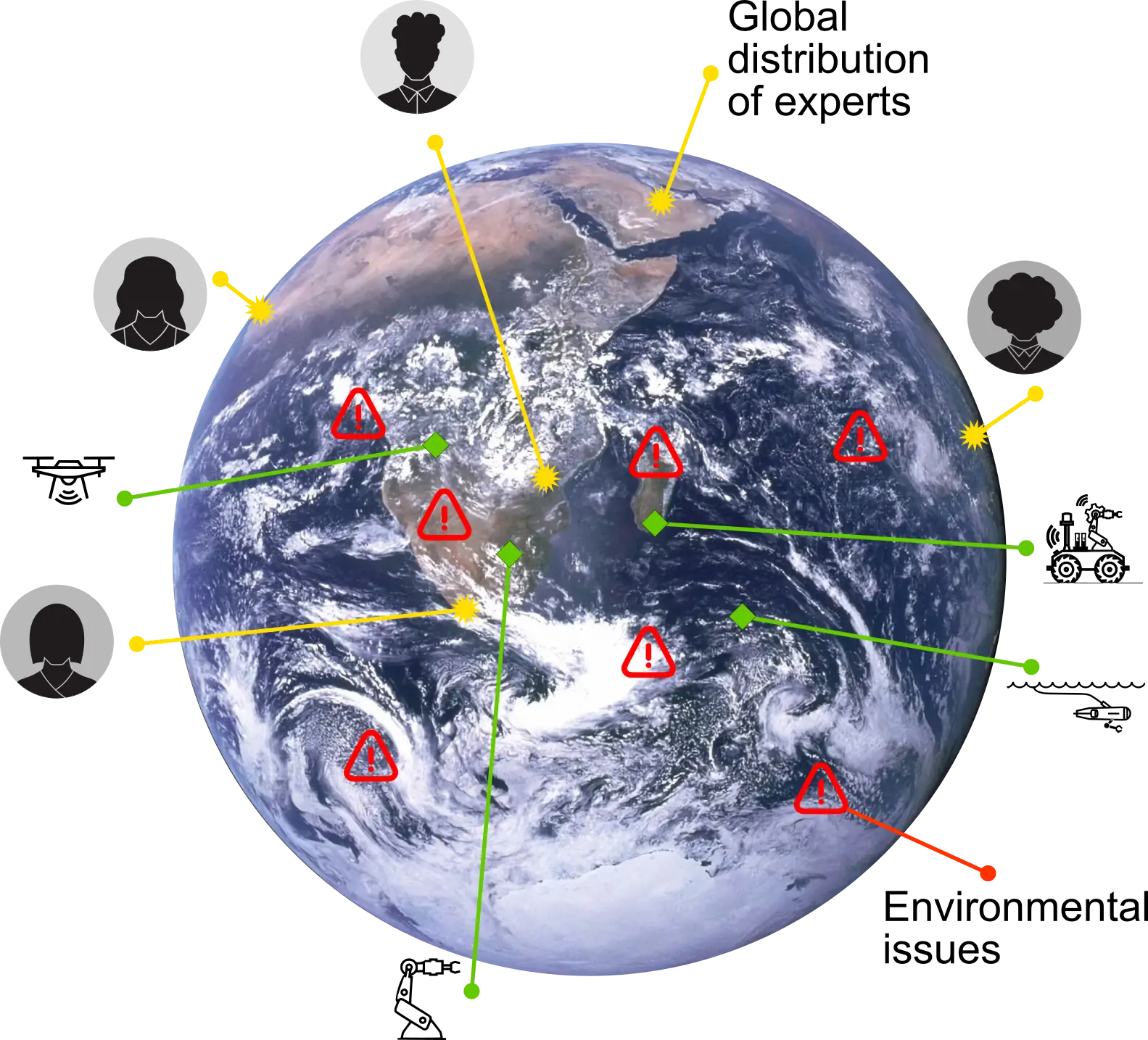
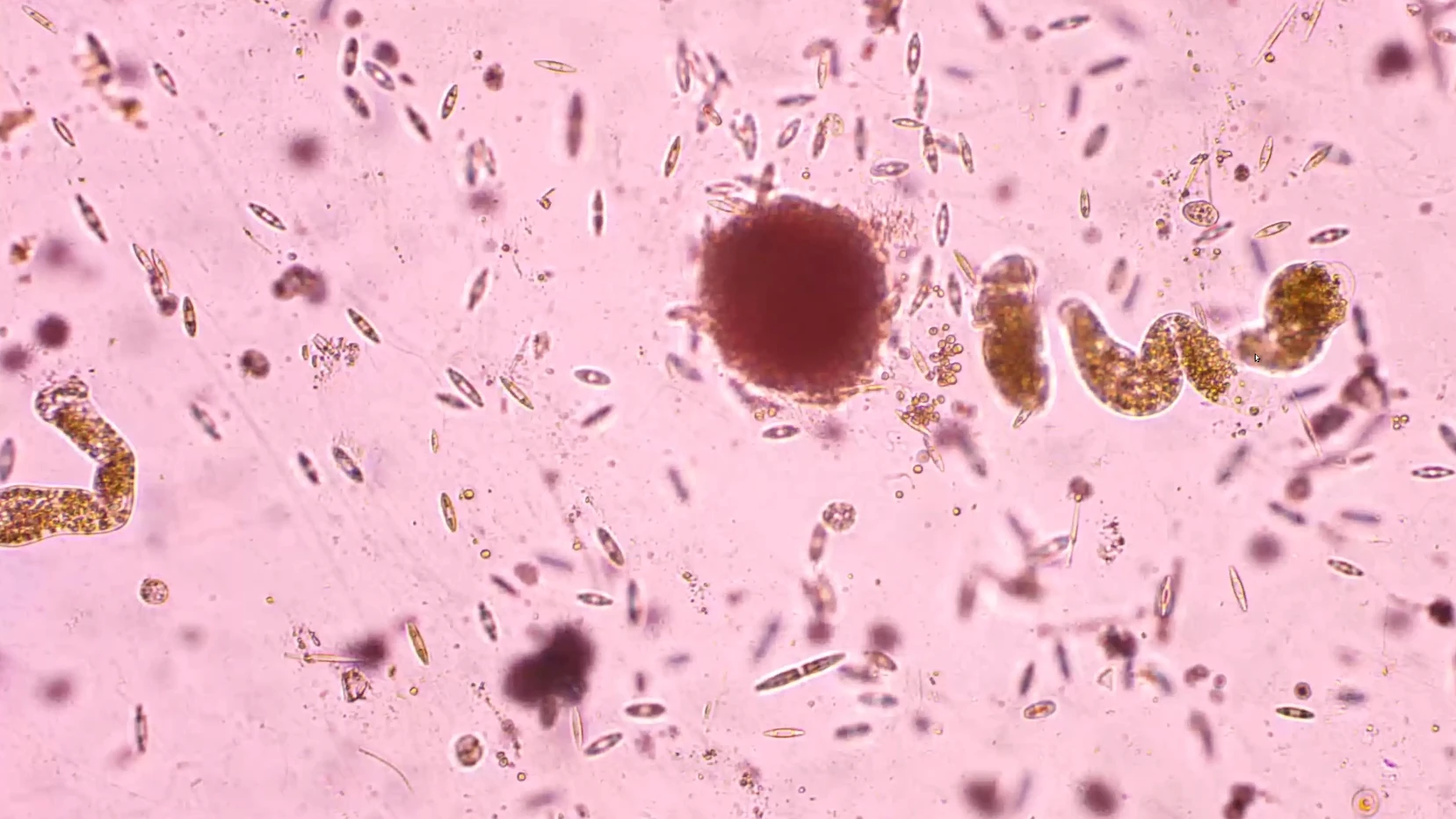
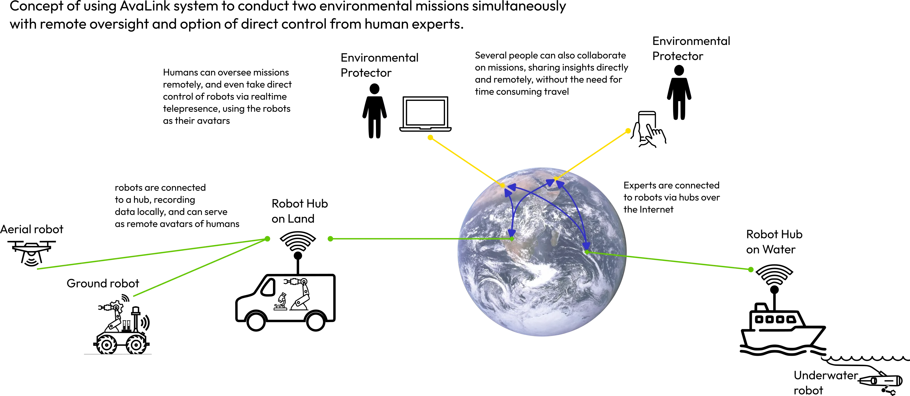
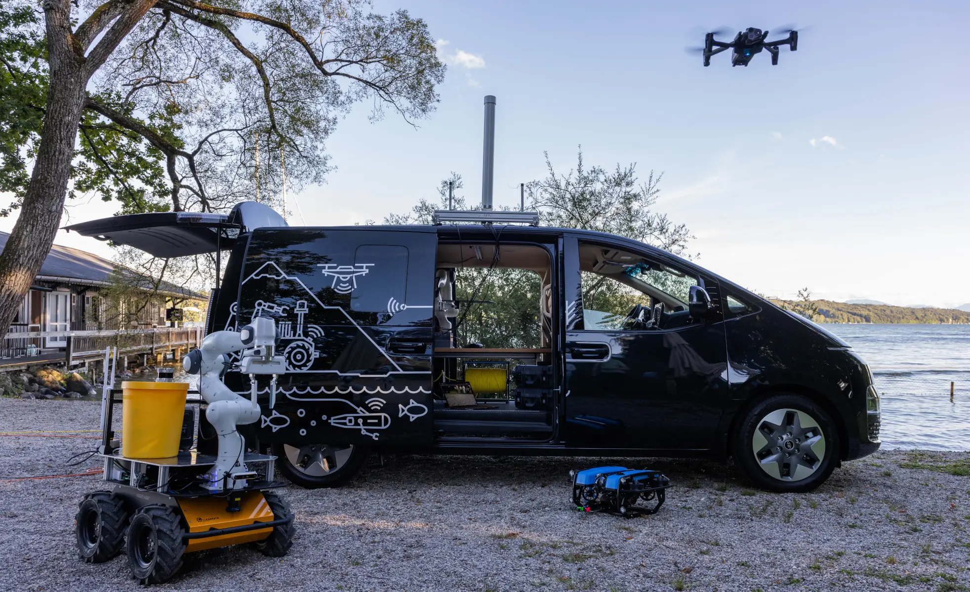
Environmental robotics explores how robotic systems can help observe, understand, and protect natural environments. Robots equipped with sensors can collect environmental data, monitor ecosystems, and study environmental change across lakes, forests, oceans, and urban spaces.

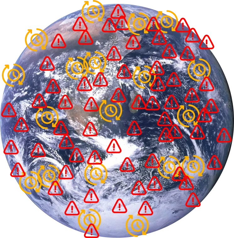
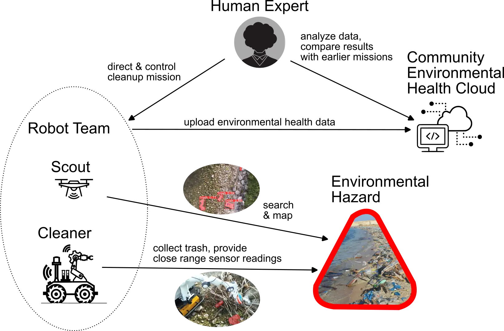
Beyond observation, environmental robotics can also support direct intervention. Robotic systems may assist in pollution monitoring, environmental cleanup, ecosystem restoration, or rapid response to environmental hazards. By combining robotics, sensing technologies, and distributed systems, environmental robotics extends our ability to both study and actively protect the natural world.

[ Why the environment needs data ]

Understanding the environment starts with observation

Environmental protection depends on knowing what is happening in the world around us. To protect ecosystems, detect pollution, monitor biodiversity, respond to environmental hazards, and understand how climate change affects different regions, we first need environmental data. Without sustained observation, many environmental changes remain invisible until they become difficult to reverse.

Seen from space, Earth reveals an extraordinary diversity of ecosystems. True-color satellite imagery allows us to observe environmental processes at planetary scale, across forests, coastlines, mountains, oceans, and the atmosphere itself.

The photo shows the Waza National Park in Cameroon, captured from space by the Copernicus Sentinel-2 mission.
Photo: ©ESA

Waza National Park, Cameroon

The photo shows the turquoise waters southeast of the Kuwaiti island of Failaka, located about 20 km off Kuwait’s coast at the head of the Persian Gulf.
Photo: ©ESA

Coastal waters near Failaka Island, Kuwait

The photo shows the Pyrenees Mountains along the border between France and Spain in southwest Europe.
Photo: ©ESA

Pyrenees, southwest Europe

The photo shows the cyclone Dikeledi south of Madagascar on 16 January 2025, as seen from space by the Copernicus Sentinel-3 mission.
Photo: ©ESA

Cyclone Dikeledi south of Madagascar

The photo shows the Mahajamba Bay in Madagascar resembling a reddish jellyfish formed by red sediment, captured by Copernicus Sentinel-2 from space.
Photo: ©ESA

Mahajamba Bay sediment patterns, Madagascar

The photo shows the Galápagos Islands, a volcanic archipelago situated some 1000 km west of Ecuador in the Pacific Ocean, seen from space by the Copernicus Sentinel-2 mission.
Photo: ©ESA

Galapagos Islands, Ecuador

The photo shows the Great Barrier Reef in the Coral Sea off the east coast of Queensland, Australia, seen from space by Copernicus Sentinel-2.
Photo: ©ESA

Great Barrier Reef, Australia

The photo shows southeast Namibia and the western edge of the Kalahari Desert, captured from space by the Copernicus Sentinel-2 mission.
Photo: ©ESA

Kalahari Desert, Namibia

The photo shows Sharm El Sheikh, located on the southern tip of the Sinai Peninsula in Egypt, seen from space by the Copernicus Sentinel-2 satellite.
Photo: ©ESA

Sharm El Sheikh, Egypt

These images illustrate the richness and complexity of Earth systems. Yet despite major advances in Earth observation and environmental monitoring, large parts of the planet remain insufficiently observed. This is one of the central points emphasized by the United Nations Environment Programme in the Global Environment Outlook 6. GEO-6 highlights that environmental knowledge has improved, but also that major data gaps remain across environmental domains. In practice, this means that many ecosystems are still only partially observed, observed too infrequently, or described with indicators that are incomplete, uneven, or hard to compare across regions.

The problem is not only about coverage, but also about continuity. Environmental processes unfold over time. Lakes change season by season. Forests respond gradually to drought, heat, disease, and land use pressure. Coastlines, wetlands, and urban environments can shift in subtle ways before those shifts become obvious.

To understand such dynamics, researchers and decision-makers need long-term, reliable, repeatable measurements rather than isolated snapshots. Time series matter because they reveal patterns, trends, and change in ways that one-off observations cannot.

The environmental data gap is therefore not an abstract scientific issue. It directly affects how well societies can detect problems early, compare environmental conditions across places, evaluate the success of interventions, and act before damage becomes more severe. With robot-assisted environmental monitoring, we aim at not only creating more data, but improved, more continuous time series data with higher confidence and fewer gaps in space and time.

[ The scale problem ]

Environmental challenges exist at planetary scale

Environmental challenges rarely occur in one place alone. Pollution, ecosystem degradation, biodiversity loss, and climate impacts are distributed across landscapes, coastlines, oceans, and urban regions around the world. The planet is vast, and environmental processes often unfold across large distances and over long periods of time.

Illustration of global environmental challenges distributed across the planet

Around the world, countless initiatives already work to protect the environment. Scientists monitor ecosystems, conservation groups restore habitats, communities respond to pollution, and international programs collect environmental data. These efforts are essential and have significantly improved our understanding of the planet.

Yet the scale of environmental monitoring and intervention remains a fundamental challenge. Many ecosystems are remote, difficult to access, or spread across large geographic areas. Monitoring lakes, coastlines, forests, and oceans often requires traveling long distances and sustaining observations over extended periods.

Human efforts alone cannot always provide the spatial and temporal coverage needed to fully understand environmental change. Expanding monitoring to planetary scale requires systems that can operate continuously, reach remote locations, and gather environmental data across many regions simultaneously.

Supporting these existing initiatives with new tools and technologies is therefore essential. Environmental robotics aims to complement human efforts by extending where and how environmental observations and interventions can take place.

[ How robots can help ]

Robots can extend human efforts in protecting the environment

Addressing environmental challenges at planetary scale requires more than awareness and commitment. It requires the ability to observe, measure, and intervene across large areas and over long periods of time. Robots offer a way to extend human capabilities by operating in places that are difficult to reach and by performing tasks continuously and reliably.

In some cases, robots can perform environmental tasks autonomously. They can patrol coastlines, scan forests, inspect waterways, or collect environmental measurements across large areas. Automation allows these activities to continue for long durations and to cover regions that would otherwise require extensive human resources.

In other situations, robots act as partners to human teams. They can carry equipment, explore hazardous environments, gather samples, or assist with cleanup operations. By supporting people in the field, robotic systems help environmental initiatives operate more safely and more efficiently.

Environmental robotics aims at amplifying human effort, not replace it. Robots become tools that allow scientists, conservationists, and communities to scale their work across wider areas and longer time frames.

By combining robotics with environmental science, sensing technologies, and data analysis, new systems can help monitor ecosystems, detect environmental risks earlier, and support targeted interventions when problems occur.

[ Environmental Robotics Systems ]

More than robots

Environmental robotics is often imagined as a robot in a forest, on a coastline, or in the water. In practice, these systems are far more than a single machine. They combine robotics, sensing, communication, operators, and infrastructure into one coordinated field system.

This systems view is what makes environmental robotics technically interesting. Real-world deployment depends not only on autonomous platforms, but on the full stack around them, from environmental sensing and remote access to field logistics, resilience, and operational coordination.

Robots

Mobile systems operating across land, air, and water.

Sensors

Instruments that observe environmental conditions, changes, and signals.

Communication

Links that connect platforms, operators, and distributed field systems.

Operators

Humans who monitor, guide, coordinate, and interpret system behavior.

Infrastructure

The physical and digital backbone that makes field deployment possible.

[ Environmental monitoring as a distributed system ]

Environmental monitoring as a distributed system

A single robot can help in one place. But environmental protection rarely happens in just one place. Ecosystems stretch across coastlines, rivers, forests, lakes, cities, and oceans. The data needed to understand them is distributed across space, time, and many different kinds of sensors and machines.

Environmental hazards, experts and robots are globally distributed, creating a logistics problem.
An expert can remotely oversee an environmental robotics trash cleanup mission

This is why environmental robotics is not only about individual robots. It is also about coordination. Different systems may observe different parts of the environment, move at different speeds, and collect different kinds of information. Aerial systems can cover large areas quickly, ground systems can inspect specific locations more closely, and fixed sensors can provide continuous measurements over time.

To become useful at scale, these systems have to work together. They need to exchange data, share tasks, and contribute to a broader picture of what is happening in the environment. In that sense, environmental monitoring becomes a distributed system: many connected components, spread across the world, producing knowledge together.

This distributed perspective matters because environmental problems are rarely isolated. Detecting change early may require measurements from different places at the same time. Understanding a polluted coastline may require satellite imagery, local water measurements, drone-based inspection, and human interpretation. No single device can do all of this alone.

Environmental robotics therefore benefits from thinking in systems rather than single machines. The goal is not simply to deploy more robots, but to build networks of observation and action that can help people understand environmental change more clearly and respond to it more effectively.

[ Challenges ]

Environmental robotics comes with real challenges

Deploying robotic systems in natural environments is fundamentally different from operating machines in controlled industrial settings. Environmental robotics must deal with unpredictable terrain, harsh weather conditions, long distances, and limited infrastructure. Building systems that can reliably operate under these conditions remains one of the key research challenges of the field.

Harsh terrain such as swamps are difficult for robots to operate in

Harsh environments

Natural environments are unpredictable. Robots may need to operate in mud, water, dense vegetation, extreme temperatures, or rough terrain. Unlike controlled laboratory conditions, field robotics must deal with changing weather, unstable surfaces, and obstacles that are difficult to anticipate.

Ecosystems are vast and robots must plan for energy limitations in missions

Energy constraints

Many environmental missions take place far away from charging infrastructure. Robots must therefore operate efficiently and manage their energy carefully. Long-duration missions require intelligent planning, efficient hardware, and new approaches to energy autonomy.

Environmental robotic missions can be hindered by degraded communication such as in forests

Communication gaps

Many ecosystems are located far from reliable communication infrastructure. Forests, oceans, wetlands, and remote landscapes often lack stable connectivity. Environmental robots must therefore operate with intermittent communication and still coordinate their tasks effectively.

Data must be gathered reliably to ensure correct analysis

Reliable data interpretation

Collecting environmental data is only the first step. Measurements must be interpreted correctly and placed into ecological context. Sensors can fail, environmental signals can be noisy, and natural systems are complex. Turning raw measurements into reliable knowledge remains an important scientific challenge.

[ The logistics problem ]

Environmental monitoring is often a logistics challenge

Many environmental challenges are not only scientific problems, but logistical ones. Environmental incidents can occur anywhere: along coastlines, in forests, across wetlands, in remote lakes, or far offshore. These places are often difficult to reach, widely distributed, and constantly changing.

Human expertise remains essential. Scientists, environmental engineers, and field researchers are the ones who interpret data, understand ecological processes, and make decisions about how to respond to environmental change. But these experts cannot be everywhere at once, and reaching the places where environmental data is needed can be slow, expensive, or physically challenging.

In many cases, the core problem becomes one of logistics: how to move sensing capabilities to where environmental events happen, and how to bring the resulting information back to the people who can understand and act on it.

Environmental robotics helps bridge this gap. Robots can move directly to locations where observations are needed, autonomously covering larger areas and collecting measurements in places that are difficult to access. Aerial, ground, and underwater robots extend the reach of environmental monitoring far beyond what human teams alone could realistically achieve.

At the same time, modern robotic systems allow experts to remain connected to the environment through remote operation and telepresence. Instead of physically traveling to every site, researchers can access live sensor data, video streams, and robotic platforms in real time, effectively extending their presence into the field.

Concept of using AvaLink system to conduct two environmental missions simultaneously with remote oversight and option of direct control from human experts.

AvaLink is our robotic system that connects multiple robots into robot teams, and lets several people take control of the robots remotely, using them as avatars via telepresence. In environmental robotics, it could help people protect the environment by having robots autonomously travel to or be stationed where environmental missions are conducted. Humans can instantly take over the robots as avatars remotely to oversee or manually conduct the missions.

[ Where it leads ]

From environmental robotics as a field to concrete systems

Environmental robotics is not only a general idea. It also leads to concrete systems, missions, and field experiments. The concepts described above, from environmental observation and intervention to distributed monitoring and robotic coordination, need to be tested in real environments and translated into working systems.

One example of this is our SVAN project. Developed in the context of environmental robotics research, SVAN explored how mobile robotic systems can support environmental monitoring, telepresence, and field operations in real-world settings.

Featured project

SVAN

SVAN is a mobile hub for environmental robotics research and field deployment. It brings together sensing, robotic systems, teleoperation, and environmental monitoring in a single platform designed for real-world use.